Several tools allow you to navigate the map.
You can search for a specific place in the map:
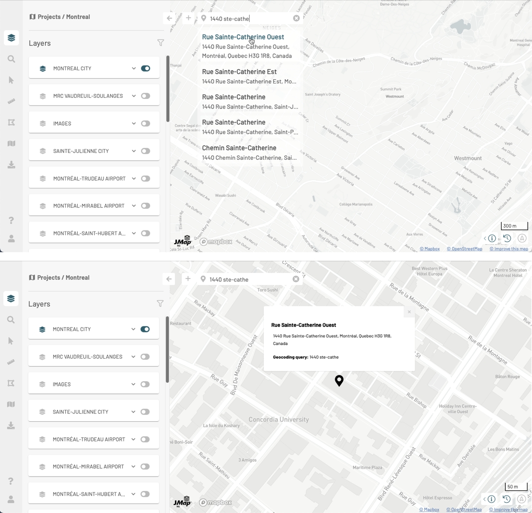
Press to open the box and write location information.
Enter search terms. You can enter an address, a postal code, a city name, a place, etc. JMap NG uses the Mapbox Geocoding service to find the location. As you enter information, places with matching information are displayed.
Select the desired location by clicking on it. The map zooms and centers on the place identified by a mark . Location information is displayed in a tooltip.
When you search for another location, the mark of the previously selected location disappears.
Press to close the place search and clear the last place information.
You can navigate on the map using your fingers or the pointer:
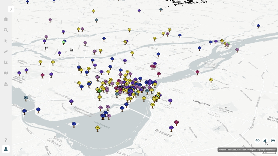
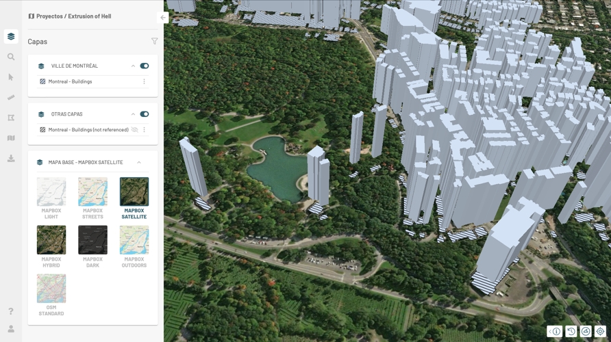
Using your fingers you can zoom in and out, move the map, and tilt it to navigate on it in 3D, as shown in the figure below.
Some layers will display 3D data. You can navigate through this data in 3D.
You can center the map at a specific coordinate and change the map scale:
Press Scale to open the Change the map scale window.
Enter the new scale or select it using the arrows. The scale of the map changes as you change the numbers.
Press OK to close the window. The map is displayed at the scale you have chosen.
Press on the cursor geolocation data to open the Recenter the map window. If your projection system is EPSG:3857, coordinates are displayed in X and Y. If your projection system is EPSG:4326, coordinates are displayed in Lat (latitude) and Lon (longitude).
Enter the coordinates or select them using the arrows. The map automatically recenters at the chosen coordinate.
Press OK to close the window.
Click on to display map rotation information (in degrees, with North as a reference) and map inclination information (in degrees, based on the horizontal plane).
Click on to straighten the map, eliminating the rotation and tilting of the map. The icon turns gray and indicates the North on the horizontal plane .
Press to open the geographic information window. This window is composed of three blocks of information: the scale, the cursor coordinates and the map projection system.
Press to select the map projection system. Usually JMap NG uses the EPSG:3857 system (suitable for web mapping) which displays coordinates in Y (latitude) and X (longitude). You can select the EPSG:4326 system which displays coordinates in Latitude and Longitude. Your choice of projection system influences the cursor geopositioning data.


