> For the complete documentation index, see [llms.txt](https://docs-jmapserver-lima.k2geospatial.com/llms.txt). Markdown versions of documentation pages are available by appending `.md` to page URLs; this page is available as [Markdown](https://docs-jmapserver-lima.k2geospatial.com/e/extensions/edition/i-wish-to.../perform-spatial-operations/spatial-tools.md).
# Spatial Tools
Spatial operations are performed on one or more selected elements.
{% hint style="info" %}
A spatial operation results in a new geometry added to the **Annotations** layer.
{% endhint %}
When you perform spatial operations on editable elements, you can press and hold down the **CTRL** key to keep only the results of the operation, i.e. automatically deleting the editable elements that were selected.
## Buffer
Creates a buffer zone around the selected map elements.
You can create the buffer zone for each element individually or a buffer zone for all elements.
1. Select the desired elements and press.
2. You must then specify the size of the buffer, i.e. the maximum distance between any point of the buffer and the selected elements. \
The size can be negative, in which case the buffer can be smaller than the selected elements. \
The size of the buffer is indicated in the map's unit of distance.
3. Keep **Generate a buffer for each selected element** checked if you want this type of buffer.
4. Specify the precision of the buffer arcs, in degrees.
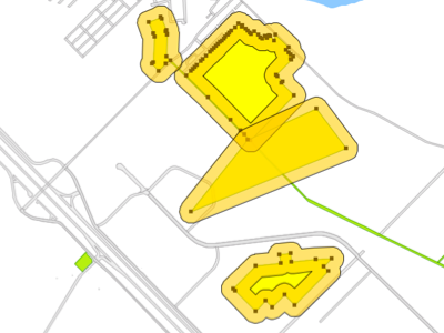
5. Press **OK**. The example shows a 100 m buffer around each park in a city.
6. Uncheck **Generate a buffer for each selected element** if you wish a single buffer to be generated for the set of selected elements.
7. Specify the precision of the buffer arcs, in degrees.
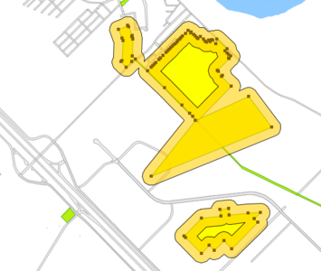
8. Press **OK**. The example shows a 100 m buffer around parks in a city.
## Union
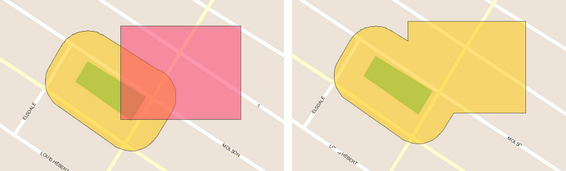
Creates a new element by uniting the selected elements.
Select at least 2 elements and press .
## Intersection
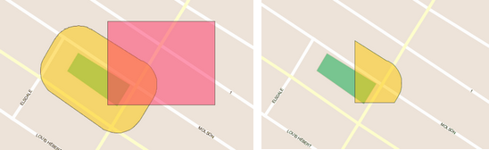
Creates a new element that is the intersection of the selected elements.
Select at least 2 elements and press .
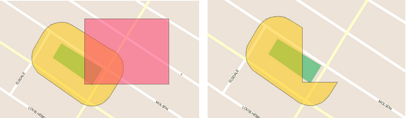
## Difference
Creates a new map element that is the difference between the first selected element and the others. In other words, all elements are subtracted from the element that was selected first.
Select at least 2 elements and press .
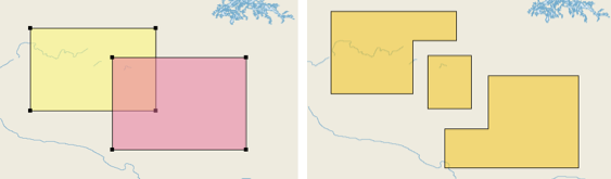
## Elementary polygons
Creates new elements resulting from the intersection of two polygons.
Select the two polygons and press .
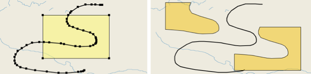
## Split polygon
Creates new elements resulting from the splitting of a polygon using a line.
Select a polygon and a line that come from two different layers and press .
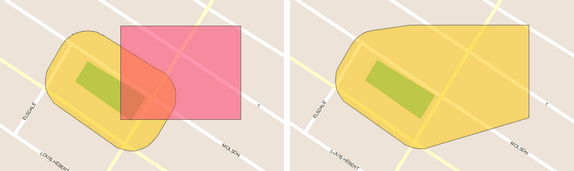
## Convex
Creates a new element that is the smallest convex polygon that entirely covers the selected elements.
Select the elements and press .