Snap
Most of the tools for drawing map objects (measurement tools, selection tools, editing tools, etc.) can be used with the snap function, which snaps the pointer to existing elements. This is useful to measure the exact distance between two elements, for example.
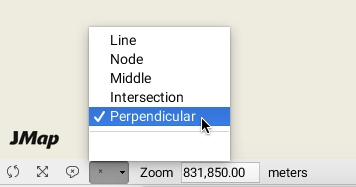
The menu found on the status bar of the map displays the parts of elements on which you can snap the pointer.
Press the arrow to open the menu and select by checking the snap options.
Click on ![]() to enable the snap feature. The icon goes dark.
to enable the snap feature. The icon goes dark.
Press the icon again to disable the function. Your snap options remain selected.

Line
You can snap the pointer to the closest line on the map. The black x indicates the snap position.

Node
You can snap the pointer to the closest node on the map.

Middle
This option allows you to snap the pointer in the middle of a line or of a polygon's segment.

Intersection
This option allows you to snap the pointer at the intersection of two lines.

Perpendicular
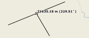
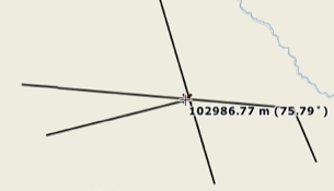
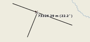
This option allows you to snap the pointer to a line or polygon segment perpendicularly.

Mis à jour