Measurement
Measurement tools allow you to calculate distances and surfaces (area and perimeter). Measurements remain on the map until they are erased, allowing you to make several measurements, to print these with the map and save them in map contexts.
Distance measurement
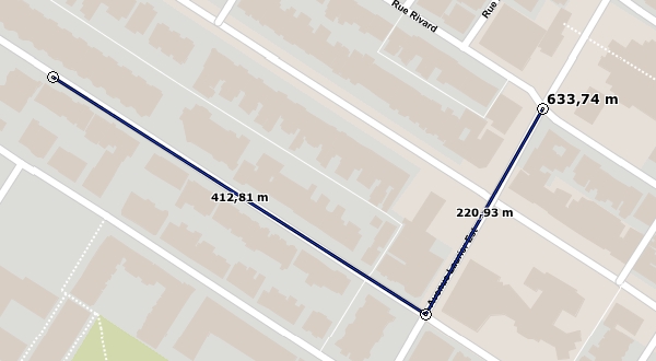
The distance measurement tool allows you to calculate the distance between two points at a bird's eye view. The tool allows you to measure multiple segments; you then obtain the distance of each individual segment as well as the total distance of all segments. The measured distances are persistent, meaning they remain on the map until the user erases them.
Enable the tool clicking on
 .
.Click on the desired area of the map once to get started.
Click on the desired area of the map to complete each segment.
Double-click on the map or press the spacebar to complete the measurement and display the total distance.

Surface measurement
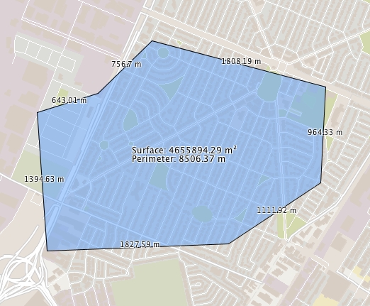
The surface measurement tool allows you to measure areas and perimeters by tracing a polygon on the map. The measurements are persistent, meaning they remain on the map until the user erases them.
Enable the tool clicking on
 .
.Click on the desired area of the map once to get started.
Click on the desired area of the map to complete a segment; repeat if desired.
Double-click on the map or press the spacebar to close up the polygon, complete the measurement and display the results.

Erase measures
Measurements remain on the map until they are erased. Press ![]() to erase all of them.
to erase all of them.
Mis à jour