Mouseover
Dernière mise à jour
Dernière mise à jour
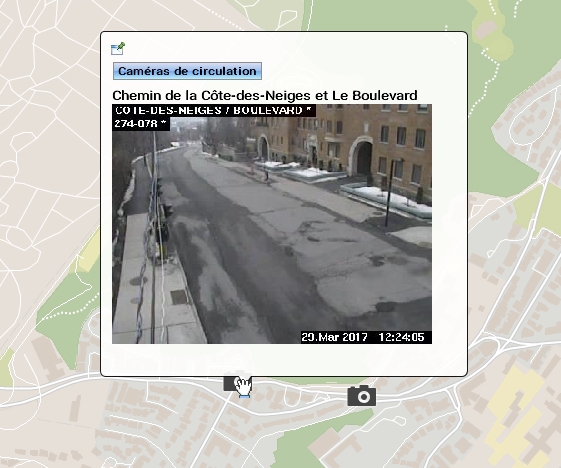
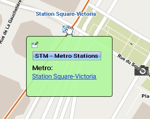
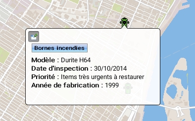
Mouseover bubbles contain information on map elements. They are automatically displayed when the mouse pointer remains on the elements of certain layers. Mouseover bubbles can contain attribute values, links to web pages, images, etc. When several elements are superimposed, mouseover bubbles display the information for all the elements, grouped by layer.
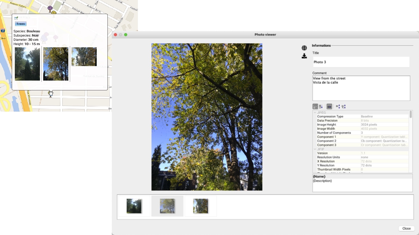
Mouseover bubbles can be used to display HTML content, images or 360 degree photos. When the mouseover contains many photos or large photos (such as 360 degree photos) it may have a delay in its display.
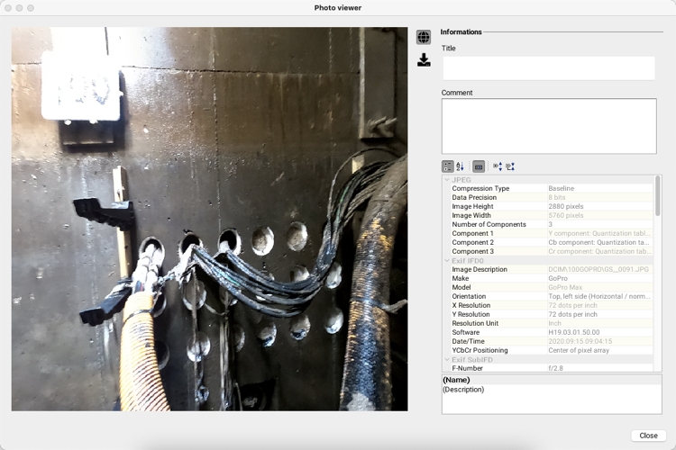
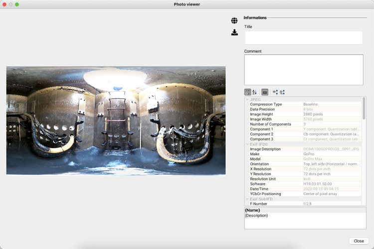
You can display the title of a photo and its comments by double-clicking on it to open the photo viewer.
The photos available for the item are displayed in the viewer. Click on the photo of your choice to display it with its information.
In the case of 360 degree photos, information about the photo can be displayed and you can navigate the photo.
The colour of mouseover bubbles can be configured (refer to Layer Settings). It can be different for each information layer.
Mouseover bubbles can be pinned to the screen in order to be displayed persistently. To pin a mouseover bubble, click on the icon located in its upper left corner.
You can select and copy the contents of a mouseover bubble by clicking on the icon located in its upper left corner and pasting it in another document (Word, Excel, etc.) using the Ctrl-C and Ctrl-V keyboard shortcuts.
You can also adjust the delay before the mouseover bubbles appear, according to your preferences (refer to the Application Settings section).
When the mouseover contains many large photos, it takes more time to display.
The icon allows you to display the photo in 2 or 3 dimensions. The icon allows you to download the photo.
To view the photo in two dimensions, click on . To return to the 360 degree view, click on the same icon.
You can also disable all mouseover bubbles on the map by clicking on the button located in the lower left part of the map.
